Blog Information
- Posted By : bluestone research
- Posted On : Apr 04, 2024
- Views : 64
- Category : General
- Description : Finally, the lead archaeology consultant puts all data into a technical report. It outlines results and smart solutions suited to the project's needs and risks. The report states clearly what was found. It gives practical advice to protect Ontario’s cultural heritage based on finds. This allows efficient, compliant decisions. It also provides all documentation for required heritage filings. Good reporting balances development plans with responsible archaeological conservation. This keeps projects on time and budget while following laws.
Overview
An archaeological assessment is a legally required process in Ontario prior to land disturbances like construction. It protects and documents archaeological resources by systematically surveying, excavating and analyzing a property.
Navigating an assessment can be complex for those unfamiliar with provincial heritage regulations. In this article, we’ll walk through the 5 key phases that comprise a complete archaeological assessment led by expert consulting archaeologists.
Stage 1: Background Study

An assessment always starts with a Stage 1 background study and analysis of documented archaeological potential on the subject lands. Here’s what this initial phase covers:
Review provincial land registry and databases for registered sites
Geomatic analysis of topography, hydrology and past land uses
Archaeological potential modeling through air photo study
Recommendation on whether property warrants Stage 2 field assessment
This critical first step filters out low-risk sites early to avoid unnecessary fieldwork. Desktop analysis also shapes an efficient Stage 2 scope targeting areas of concern.

Stage 2: Property Inspection
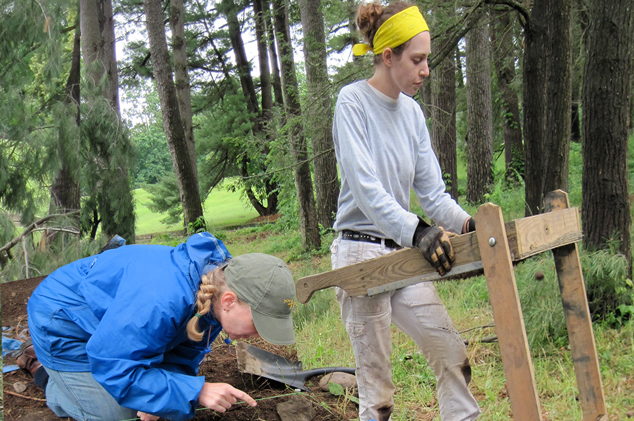
Where Stage 1 indicates archaeological potential, an on-site Stage 2 survey is required. Fieldwork specialists walk the property, analyzing land characteristics while excavating shallow test pits regularly. Key Stage 2 tasks include:
Pedestrian survey of ploughable lands and visual inspection
Test pit excavation every 5-10m in areas of interest
Documentation of soil stratigraphy and screening for artifacts
Assessing presence of archaeological sites and artifact density
Stage 2 culminates in a report detailing results and next steps to address any discovered resources appropriately.
Stage 3: Site-Specific Assessment
If cultural materials are found during Stage 2 indicating occupation, an intensive Stage 3 assessment occurs to delineate the site’s boundaries horizontally and vertically. Field crews use close-interval test pits, then hand excavate units in a grid pattern. Key Stage 3 work includes:
Controlled topsoil removal exposing archaeological deposits
Expanded grid testing to map horizontal boundaries
Hand excavation of 1m x 1m square units in systematic levels
Documentation of soil layers, features, artifacts and eco data
This yields detailed data on the nature, density and significance of sites identified.
Stage 4: Archaeological Excavation
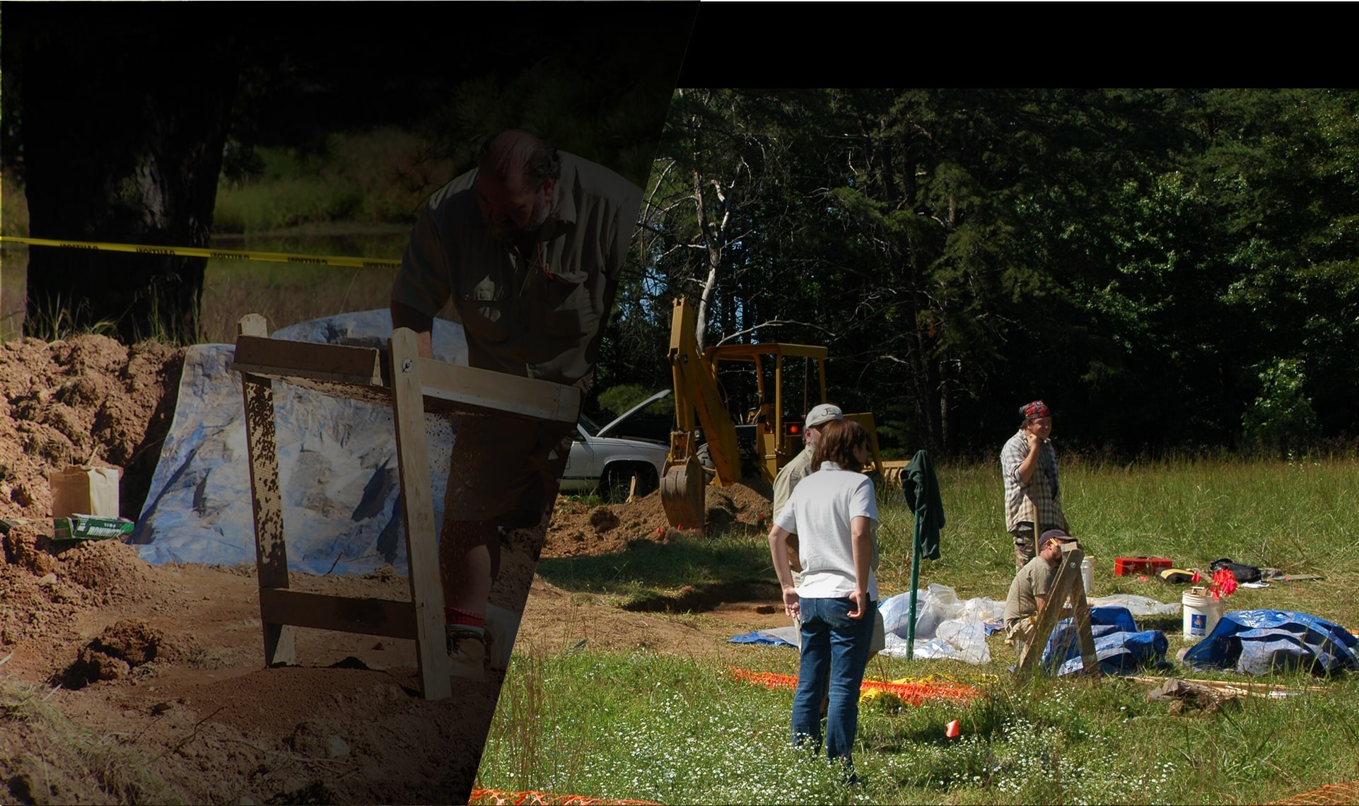
For sites with artifacts or features requiring preservation or rescue, extensive Stage 4 excavations ensue. This carefully removes and documents remain before construction disturbances. Tasks involve:
Stripping topsoil mechanically under supervision
Expanded excavation to expose features fully
Systematic soil removal in thin, level horizons
Documentation and analysis of all finds
Recovered materials are processed on-site and stored for analysis and conservation.
Stage 5: Reporting & Compliance Recommendations
Finally, the lead archaeology consultant puts all data into a technical report. It outlines results and smart solutions suited to the project's needs and risks. The report states clearly what was found. It gives practical advice to protect Ontario’s cultural heritage based on finds. This allows efficient, compliant decisions. It also provides all documentation for required heritage filings. Good reporting balances development plans with responsible archaeological conservation. This keeps projects on time and budget while following laws.
Conclusion
Get trusted guidance through all phases of assessment with Ontario-based Bluestone Research. Their expert archaeologists have 30+ years experience providing leading archaeological consulting services across the province.
